Part 1 | Part 2 | Part 3 | Part 4 | Video Version
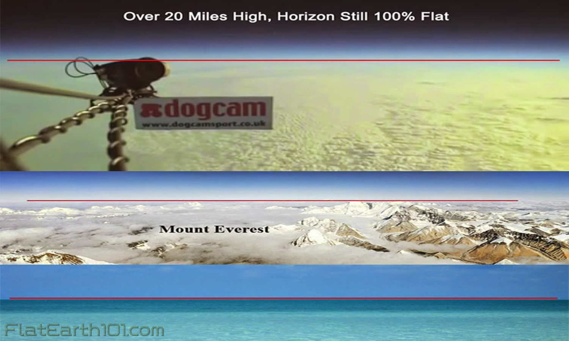
1) The horizon always appears perfectly flat 360 degrees around the observer regardless of altitude. All amateur balloon, rocket, plane and drone footage show a completely flat horizon over 20+ miles high. Only NASA and other government “space agencies” show curvature in their fake CGI photos/videos.
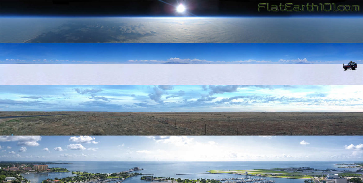
2) The horizon always rises to the eye level of the observer as altitude is gained, so you never have to look down to see it. If Earth were in fact a globe, no matter how large, as you ascended the horizon would stay fixed and the observer / camera would have to tilt looking down further and further to see it.
3) The natural physics of water is to find and maintain its level. If Earth were a giant sphere tilted, wobbling and hurdling through infinite space then truly flat, consistently level surfaces would not exist here. But since Earth is in fact an extended flat plane, this fundamental physical property of fluids finding and remaining level is consistent with experience and common sense.
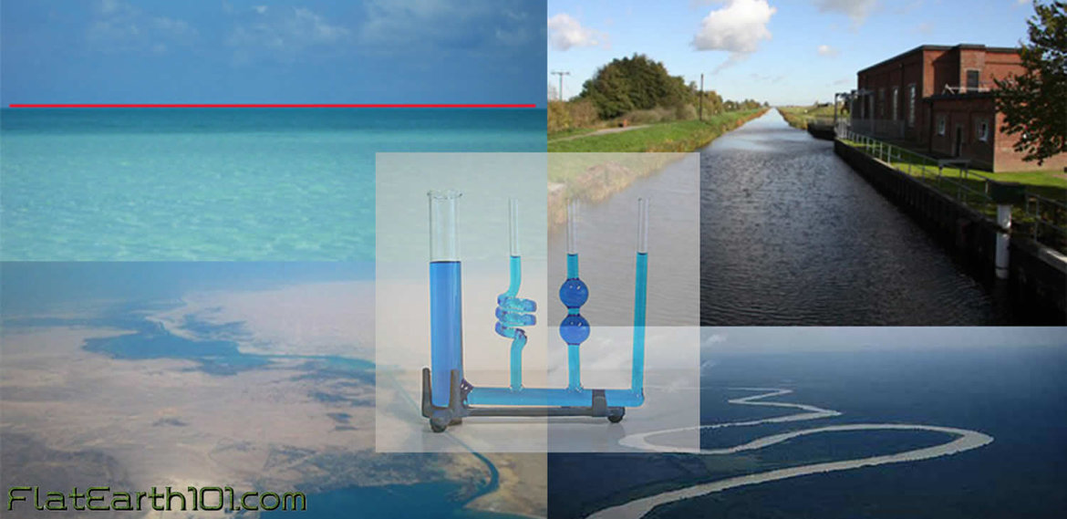
4) Rivers run down to sea-level finding the easiest course, North, South, East, West and all other intermediary directions over the Earth at the same time. If Earth were truly a spinning ball then many of these rivers would be impossibly flowing uphill, for example the Mississippi in its 3000 miles would have to ascend 11 miles before reaching the Gulf of Mexico.
5) One portion of the Nile River flows for a thousand miles with a fall of only one foot. Parts of the West African Congo, according to the supposed inclination and movement of the ball-Earth, would be sometimes running uphill and sometimes down. This would also be the case for the Parana, Paraguay and other long rivers.

6) If Earth were a ball 25,000 miles in circumference as NASA and modern astronomy claim, spherical trigonometry dictates the surface of all standing water must curve downward an easily measurable 8 inches per mile multiplied by the square of the distance. This means along a 6 mile channel of standing water, the Earth would dip 6 feet on either end from the central peak. Every time such experiments have been conducted, however, standing water has proven to be perfectly level.

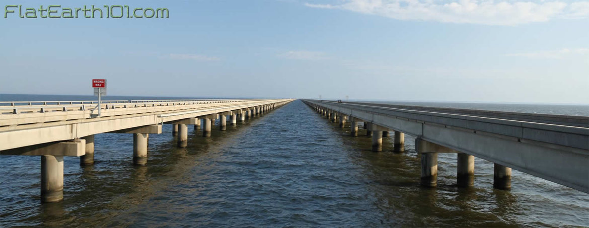
7) Surveyors, engineers and architects are never required to factor the supposed curvature of the Earth into their projects. Canals, railways, bridges and tunnels for example are always cut and laid horizontally, often over hundreds of miles without any allowance for curvature.
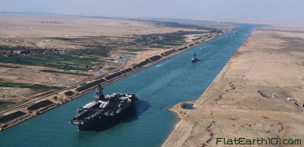
8) The Suez Canal connecting the Mediterranean with the Red Sea is 100 miles long without any locks making the water an uninterrupted continuation of the two seas. When constructed, the Earth’s supposed curvature was not taken into account, it was dug along a horizontal datum line 26 feet below sea-level, passing through several lakes from one sea to the other, with the datum line and water’s surface running perfectly parallel over the 100 miles.
9) Engineer, W. Winckler was published in the Earth Review regarding the Earth’s supposed curvature, stating, “As an engineer of many years standing, I saw that this absurd allowance is only permitted in school books. No engineer would dream of allowing anything of the kind. I have projected many miles of railways and many more of canals and the allowance has not even been thought of, much less allowed for. This allowance for curvature means this – that it is 8” for the first mile of a canal, and increasing at the ratio by the square of the distance in miles; thus a small navigable canal for boats, say 30 miles long, will have, by the above rule an allowance for curvature of 600 feet. Think of that and then please credit engineers as not being quite such fools. Nothing of the sort is allowed. We no more think of allowing 600 feet for a line of 30 miles of railway or canal, than of wasting our time trying to square the circle”

10) The London and Northwestern Railway forms a straight line 180 miles long between London and Liverpool. The railroad’s highest point, midway at Birmingham station, is only 240 feet above sea-level. If the world were actually a globe, however, curving 8 inches per mile squared, the 180 mile stretch of rail would form an arc with the center point at Birmingham raising over a mile, a full 5,400 feet above London and Liverpool.
11) A surveyor and engineer of thirty years published in the Birmingham Weekly Mercury stated, “I am thoroughly acquainted with the theory and practice of civil engineering. However bigoted some of our professors may be in the theory of surveying according to the prescribed rules, yet it is well known amongst us that such theoretical measurements are INCAPABLE OF ANY PRACTICAL ILLUSTRATION. All our locomotives are designed to run on what may be regarded as TRUE LEVELS or FLATS. There are, of course, partial inclines or gradients here and there, but they are always accurately defined and must be carefully traversed. But anything approaching to eight inches in the mile, increasing as the square of the distance, COULD NOT BE WORKED BY ANY ENGINE THAT WAS EVER YET CONSTRUCTED. Taking one station with another all over England and Scotland, it may be stated that all the platforms are ON THE SAME RELATIVE LEVEL. The distance between Eastern and Western coasts of England may be set down as 300 miles. If the prescribed curvature was indeed as represented, the central stations at Rugby or Warwick ought to be close upon three miles higher than a chord drawn from the two extremities. If such was the case there is not a driver or stoker within the Kingdom that would be found to take charge of the train. We can only laugh at those of your readers who seriously give us credit for such venturesome exploits, as running trains round spherical curves. Horizontal curves on levels are dangerous enough, vertical curves would be a thousand times worse, and with our rolling stock constructed as at present physically impossible.”

12) The Manchester Ship Canal Company published in the Earth Review stated, “It is customary in Railway and Canal constructions for all levels to be referred to a datum which is nominally horizontal and is so shown on all sections. It is not the practice in laying out Public Works to make allowances for the curvature of the earth
13) In a 19th century French experiment by M. M. Biot and Arago a powerful lamp with good reflectors was placed on the summit of Desierto las Palmas in Spain and able to be seen all the way from Camprey on the Island of Iviza. Since the elevation of the two points were identical and the distance between covered nearly 100 miles, if Earth were a ball 25,000 miles in circumference, the light should have been more than 6600 feet, a mile and a quarter, below the line of sight!
14) The Lieutenant-Colonel Portlock experiment used oxy-hydrogen Drummond’s lights and heliostats to reflect the sun’s rays across stations set up across 108 miles of St. George’s Channel. If the Earth were actually a ball 25,000 miles in circumference, Portlock’s light should have remained hidden under a mile and a half of curvature.
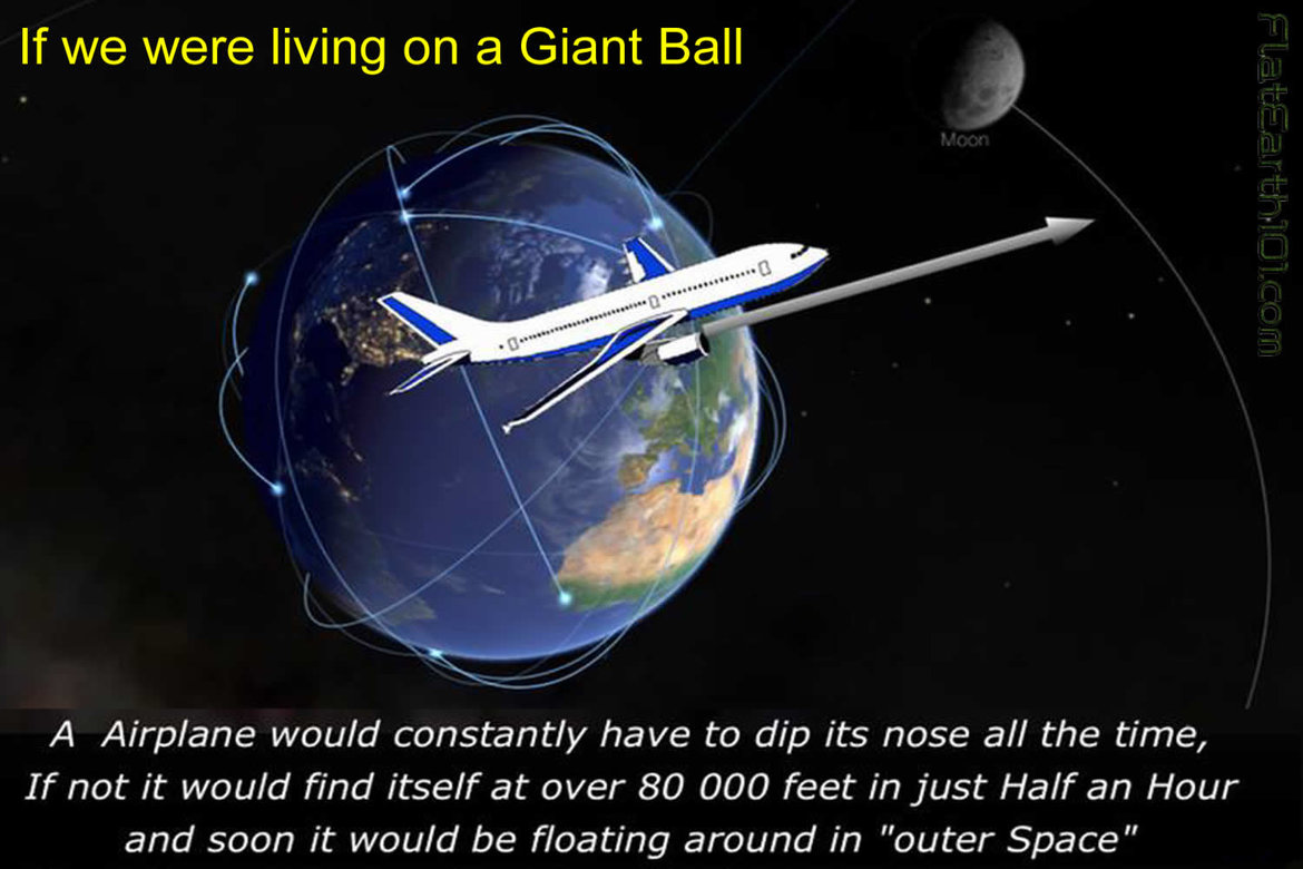
15) If the Earth were truly a sphere 25,000 miles in circumference, airplane pilots would have to constantly correct their altitudes downwards so as to not fly straight off into “outer space;” a pilot wishing to simply maintain their altitude at a typical cruising speed of 500 mph, would have to constantly dip their nose downwards and descend 2,777 feet (over half a mile) every minute! Otherwise, without compensation, in one hour’s time the pilot would find themselves 31.5 miles higher than expected.
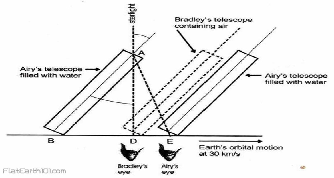
16) The experiment known as “Airy’s Failure” proved that the stars move relative to a stationary Earth and not the other way around. By first filling a telescope with water to slow down the speed of light inside, then calculating the tilt necessary to get the starlight directly down the tube, Airy failed to prove the heliocentric theory since the starlight was already coming in the correct angle with no change necessary, and instead proved the geocentric model correct.
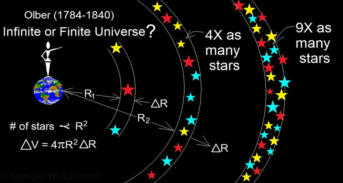
17) “Olber’s Paradox” states that if there were billions of stars which are suns the night sky would be filled completely with light. As Edgar Allen Poe said, “Were the succession of stars endless, then the background of the sky would present us a uniform luminosity, since there could exist absolutely no point, in all that background, at which would not exist a star.” In fact Olber’s “Paradox” is no more a paradox than George Airy’s experiment was a “failure.” Both are actually excellent refutations of the heliocentric spinning ball model.
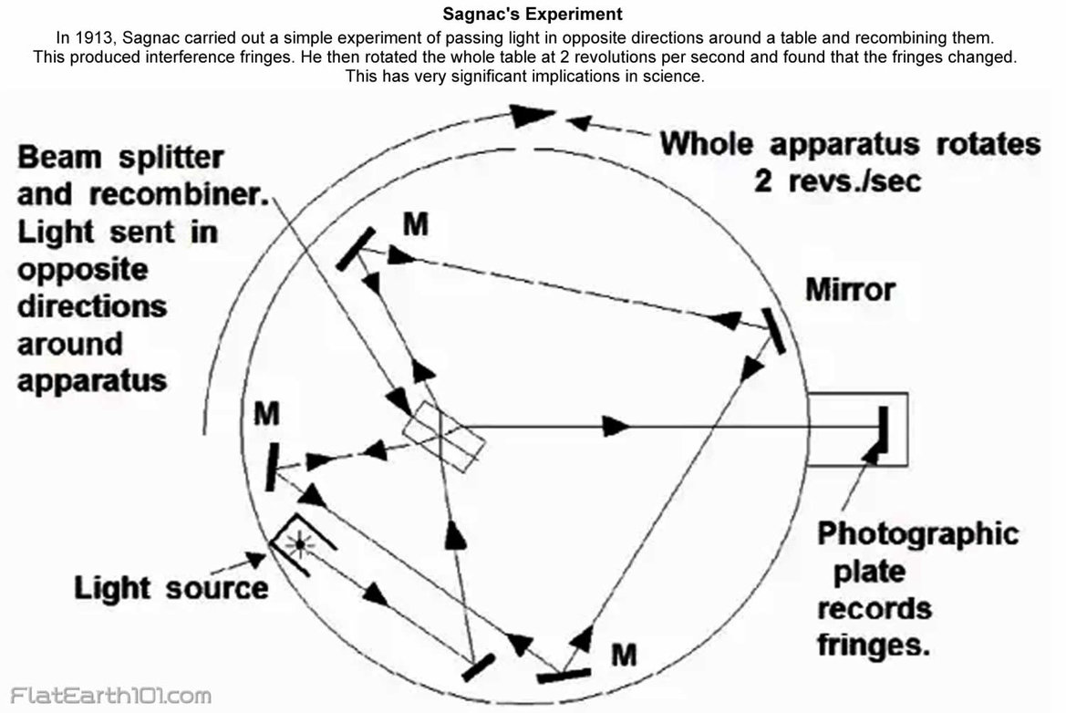
18) The Michelson-Morley and Sagnac experiments attempted to measure the change in speed of light due to Earth’s assumed motion through space. After measuring in every possible different direction in various locations they failed to detect any significant change whatsoever, again proving the stationary geocentric model.
19) Tycho Brahe famously argued against the heliocentric theory in his time, positing that if the Earth revolved around the Sun, the change in relative position of the stars after 6 months orbital motion could not fail to be seen. He argued that the stars should seem to separate as we approach and come together as we recede. In actual fact, however, after 190,000,000 miles of supposed orbit around the Sun, not a single inch of parallax can be detected in the stars, proving we have not moved at all.
20) If Earth were truly constantly spinning Eastwards at over 1000mph, vertically-fired cannonballs and other projectiles should fall significantly due west. In actual fact, however, whenever this has been tested, vertically-fired cannonballs shoot upwards an average of 14 seconds ascending, 14 seconds descending, and fall back to the ground no more than 2 feet away from the cannon, often directly back into the muzzle.

21) If the Earth were truly constantly spinning Eastwards at over 1000mph, helicopters and hot-air balloons should be able to simply hover over the surface of the Earth and wait for their destinations to come to them!

22) If Earth were truly constantly spinning Eastwards at over 1000mph, during the Red Bull stratosphere dive, Felix Baumgartner, spending 3 hours ascending over New Mexico, should have landed 2500 miles West into the Pacific Ocean but instead landed a few dozen miles East of the take-off point.
23) Ball-believers often claim “gravity” magically and inexplicably drags the entire lower-atmosphere of the Earth in perfect synchronization up to some undetermined height where this progressively faster spinning atmosphere gives way to the non-spinning, non-gravitized, non-atmosphere of infinite vacuum space. Such non-sensical theories are debunked, however, by rain, fireworks, birds, bugs, clouds, smoke, planes and projectiles all of which would behave very differently if both the ball-Earth and its atmosphere were constantly spinning Eastwards at 1000mph.

24) If Earth and its atmosphere were constantly spinning eastwards over 1000mph then North/South facing cannons should establish a control while East-firing cannonballs should fall significantly farther than all others while West-firing cannonballs should fall significantly closer. In actual fact, however, regardless of which direction cannons are fired, the distance covered is always the same.
25) If Earth and its atmosphere were constantly spinning eastwards over 1000mph, then the average commercial airliner traveling 500mph should never be able to reach its Eastward destinations before they come speeding up from behind! Likewise Westward destinations should be arrived at thrice the speed, but this is not the case.
26) Quoting “Heaven and Earth” by Gabrielle Henriet, “If flying had been invented at the time of Copernicus, there is no doubt that he would have soon realized that his contention regarding the rotation of the earth was wrong, on account of the relation existing between the speed of an aircraft and that of the earth’s rotation. If the earth rotates, as it is said, at 1,000 miles an hour, and a plane flies in the same direction at only 500 miles, it is obvious that its place of destination will be farther removed every minute. On the other hand, if flying took place in the direction opposite to that of the rotation, a distance of 1,500 miles would be covered in one hour, instead of 500, since the speed of the rotation is to be added to that of the plane. It could also be pointed out that such a flying speed of 1,000 miles an hour, which is supposed to be that of the earth’s rotation, has recently been achieved, so that an aircraft flying at this rate in the same direction as that of the rotation could not cover any ground at all. It would remain suspended in mid-air over the spot from which it took off, since both speeds are equal.”
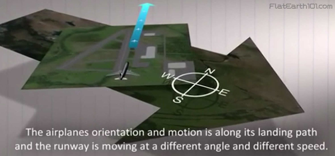
27) If Earth and its atmosphere were constantly spinning Eastwards over 1000mph, landing airplanes on such fast-moving runways which face all manner of directions North, South, East, West and otherwise would be practically impossible, yet in reality such fictional concerns are completely negligible.
28) If the Earth and its atmosphere were constantly spinning Eastwards over 1000mph, then clouds, wind and weather patterns could not casually and unpredictably go every which way, with clouds often travelling in opposing directions at varying altitudes simultaneously.
29) If the Earth and its atmosphere were constantly spinning Eastwards over 1000mph, this should somewhere somehow be seen, heard, felt or measured by someone, yet no one in history has ever experienced this alleged Eastward motion; meanwhile, however, we can hear, feel and experimentally measure even the slightest Westward breeze.

30) In his book “South Sea Voyages,” Arctic and Antarctic explorer Sir James Clarke Ross, described his experience on the night of November 27th, 1839 and his conclusion that the Earth must be motionless: “The sky being very clear … it enabled us to observe the higher stratum of clouds to be moving in an exactly opposite direction to that of the wind–a circumstance which is frequently recorded in our meteorological journal both in the north-east and south-east trades, and has also often been observed by former voyagers. Captain Basil Hall witnessed it from the summit of the Peak of Teneriffe; and Count Strzelechi, on ascending the volcanic mountain of Kiranea, in Owhyhee, reached at 4000 feet an elevation above that of the trade wind, and experienced the influence of an opposite current of air of a different hygrometric and thermometric condition … Count Strzelechi further informed me of the following seemingly anomalous circumstance–that at the height of 6000 feet he found the current of air blowing at right angles to both the lower strata, also of a different hygrometric and thermometric condition, but warmer than the inter-stratum. Such a state of the atmosphere is compatible only with the fact which other evidence has demonstrated, that the earth is at rest.”

31) Quoting “Zetetic Cosmogeny” Thomas Winships states: “Let ‘imagination’ picture to the mind what force air would have which was set in motion by a spherical body of 8,000 miles in diameter, which in one hour was spinning round 1,000 mph, rushing through space at 65,000 mph and gyrating across the heavens? Then let ‘conjecture’ endeavor to discover whether the inhabitants on such a globe could keep their hair on? If the earth-globe rotates on its axis at the terrific rate of 1,000 miles an hour, such an immense mass would of necessity cause a tremendous rush of wind in the space it occupied. The wind would go all one way, and anything like clouds which got ‘within the sphere of influence’ of the rotating sphere, would have to go the same way. The fact that the earth is at rest is proved by kite flying.”
32) If “gravity” is credited with being a force strong enough to hold the world’s oceans, buildings, people and atmosphere stuck to the surface of a rapidly spinning ball, then it is impossible for “gravity” to also simultaneously be weak enough to allow little birds, bugs, and planes to take-off and travel freely unabated in any direction.
33) If “gravity” is credited with being a force strong enough to curve the massive expanse of oceans around a globular Earth, it would be impossible for fish and other creatures to swim through such forcefully held water.
34) Ship captains in navigating great distances at sea never need to factor the supposed curvature of the Earth into their calculations. Both Plane Sailing and Great Circle Sailing, the most popular navigation methods, use plane, not spherical trigonometry, making all mathematical calculations on the assumption that the Earth is perfectly flat. If the Earth were in fact a sphere, such an errant assumption would lead to constant glaring inaccuracies. Plane Sailing has worked perfectly fine in both theory and practice for thousands of years, however, and plane trigonometry has time and again proven more accurate than spherical trigonometry in determining distances across the oceans.
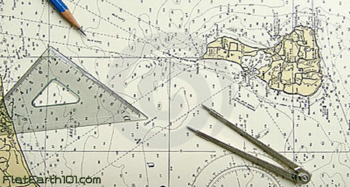
35) If the Earth were truly a globe, then every line of latitude south of the equator would have to measure a gradually smaller and smaller circumference the farther South travelled. If, however, the Earth is an extended plane, then every line of latitude south of the equator should measure a gradually larger and larger circumference the farther South travelled. The fact that many captains navigating south of the equator assuming the globular theory have found themselves drastically out of reckoning, moreso the farther South travelled, testifies to the fact that the Earth is not a ball.
36) During Captain James Clark Ross’s voyages around the Antarctic circumference, he often wrote in his journal perplexed at how they routinely found themselves out of accordance with their charts, stating that they found themselves an average of 12-16 miles outside their reckoning every day, later on further south as much as 29 miles.
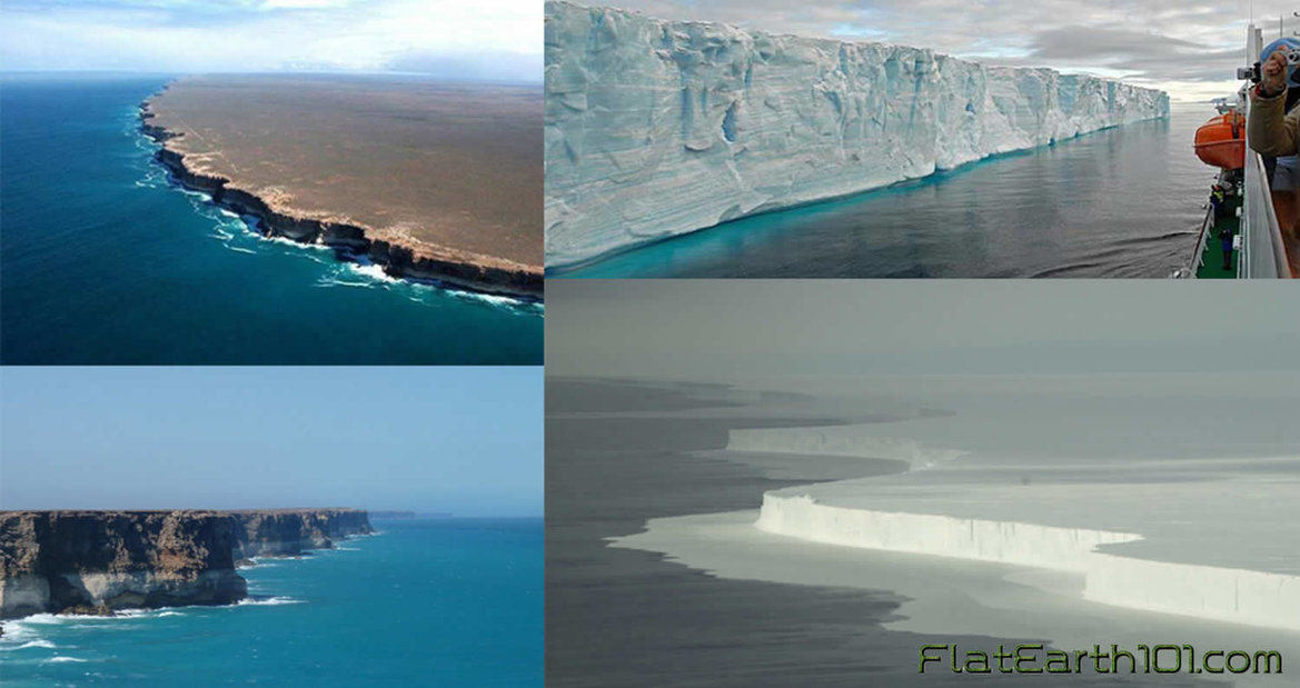
37) Lieutenant Charles Wilkes commanded a United States Navy exploration expedition to the Antarctic from 1838 to 1842, and in his journals also mentioned being consistently east of his reckoning, sometimes over 20 miles in less than 18 hours.
38) To quote Reverend Thomas Milner, “In the southern hemisphere, navigators to India have often fancied themselves east of the Cape when still west, and have been driven ashore on the African coast, which, according to their reckoning, lay behind them. This misfortune happened to a fine frigate, the Challenger, in 1845. How came Her Majesty’s Ship ‘Conqueror,’ to be lost? How have so many other noble vessels, perfectly sound, perfectly manned, perfectly navigated, been wrecked in calm weather, not only in dark night, or in a fog, but in broad daylight and sunshine – in the former case upon the coasts, in the latter, upon sunken rocks – from being ‘out of reckoning?’” The simple answer is that Earth is not a ball.
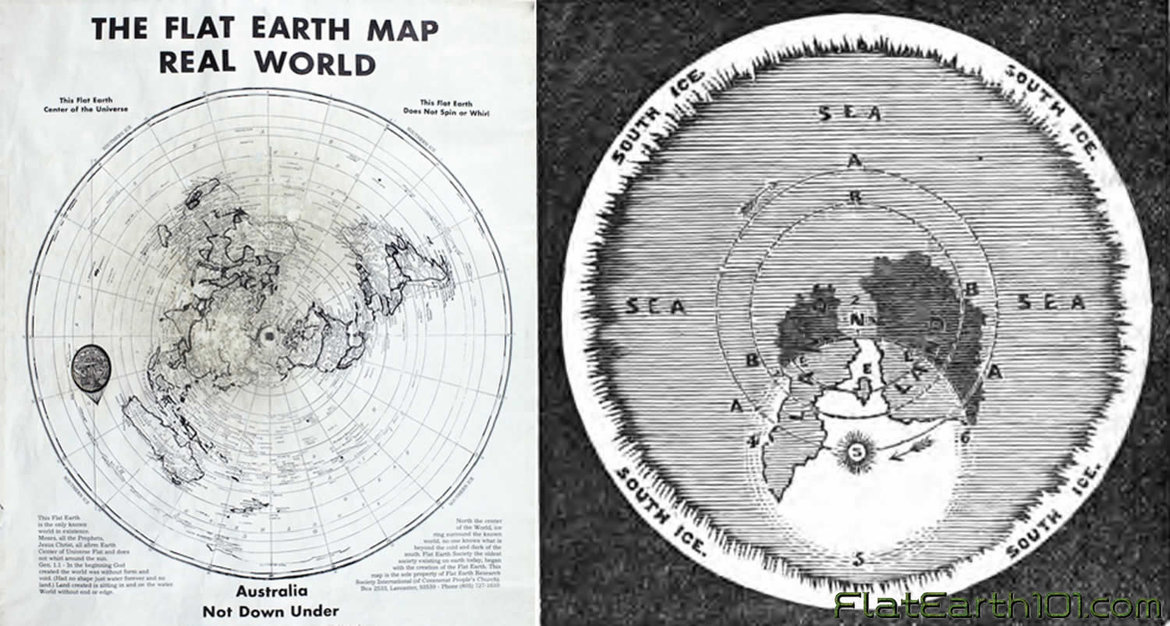
39) Practical distance measurements taken from “The Australian Handbook, Almanack, Shippers’ and Importers’ Directory” state that the straight line distance between Sydney and Nelson is 1550 statute miles. Their given difference in longitude is 22 degrees 2’14”. Therefore if 22 degrees 2’14” out of 360 is 1550 miles, the entirety would measure 25,182 miles. This is not only larger than the ball-Earth is said to be at the equator, but a whole 4262 miles greater than it would be at Sydney’s southern latitude on a globe of said proportions.
40) From near Cape Horn, Chile to Port Philip in Melbourne, Australia the distance is 10,500 miles, or 143 degrees of longitude away. Factoring in the remaining degrees to 360 makes for a total distance of 26,430 miles around this particular latitude, which is over 1500 miles wider than Earth is supposed to be at the equator, and many more thousands of miles wider than it is supposed to be at such Southern latitudes.
41) Similar calculations made from the Cape of Good Hope, South Africa to Melbourne, Australia at an average latitude of 35.5 degrees South, have given an approximate figure of over 25,000 miles, which is again equal to or greater than the Earth’s supposed greatest circumference at the equator. Calculations from Sydney, Australia to Wellington, New Zealand at an average of 37.5 degrees South have given an approximate circumference of 25,500 miles, greater still! According to the ball-Earth theory, the circumference of the Earth at 37.5 degrees Southern latitude should be only 19,757 statute miles, almost six thousand miles less than such practical measurements.
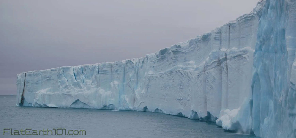
42) In the ball-Earth model Antarctica is an ice continent which covers the bottom of the ball from 78 degrees South latitude to 90 and is therefore not more than 12,000 miles in circumference. Many early explorers including Captian Cook and James Clark Ross, however, in attempting Antarctic circumnavigation took 3 to 4 years and clocked 50-60,000 miles around. The British ship Challenger also made an indirect but complete circumnavigation of Antarctica traversing 69,000 miles. This is entirely inconsistent with the ball model.
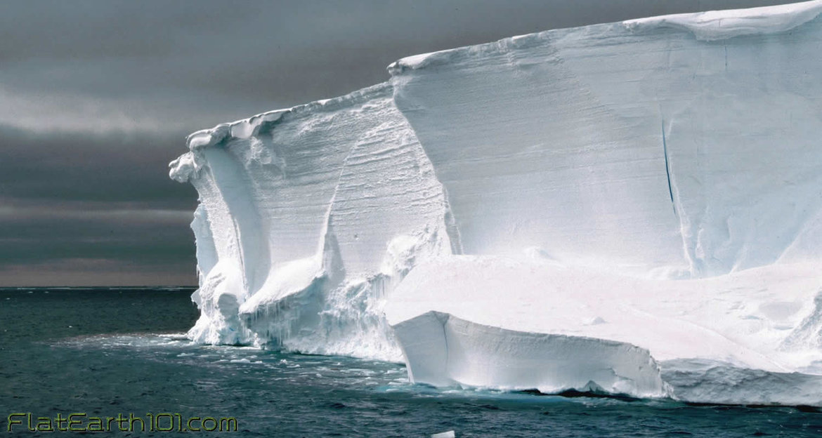
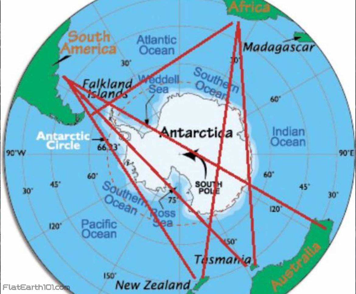
43) If Earth was a ball there are several flights in the Southern hemisphere which would have their quickest, straightest path over the Antarctic continent such as Santiago, Chile to Sydney, Australia. Instead of taking the shortest, quickest route in a straight line over Antarctica, all such flights detour all manner of directions away from Antarctica instead claiming the temperatures too cold for airplane travel! Considering the fact that there are plenty of flights to/from/over Antarctica, and NASA claims to have technology keeping them in conditions far colder (and far hotter) than any experienced on Earth, such an excuse is clearly just an excuse, and these flights aren’t made because they are impossible.
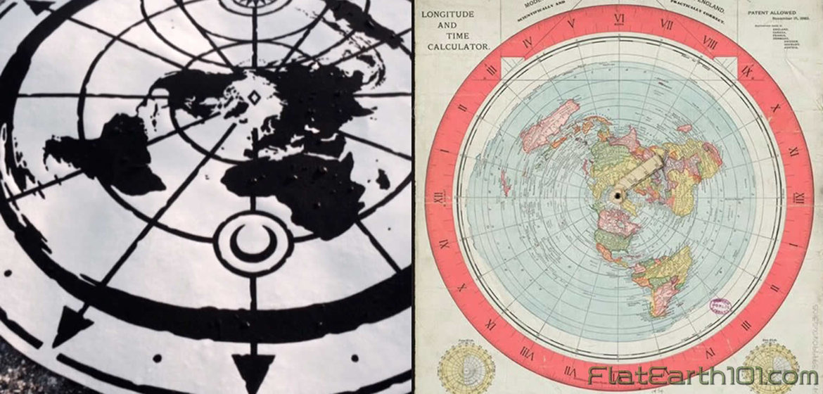
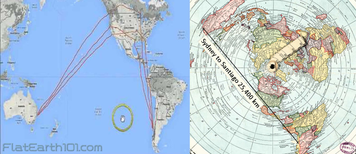
44) If Earth was a ball, and Antarctica was too cold to fly over, the only logical way to fly from Sydney to Santiago would be a straight shot over the Pacific staying in the Southern hemisphere the entire way. Re-fueling could be done in New Zealand or other Southern hemisphere destinations along the way if absolutely necessary. In actual fact, however, Santiago-Sydney flights go into the Northern hemisphere making stop-overs at LAX and other North American airports before continuing back down to the Southern hemisphere. Such ridiculously wayward detours make no sense on the globe but make perfect sense and form nearly straight lines when shown on a flat Earth map.
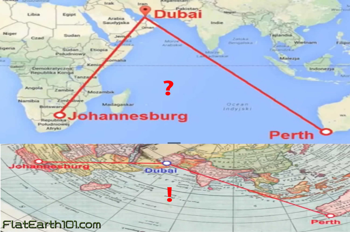
45) On a ball-Earth, Johannesburg, South Africa to Perth, Australia should be a straight shot over the Indian Ocean with convenient re-fueling possibilities on Mauritus or Madagascar. In actual practice, however, most Johannesburg to Perth flights curiously stop over either in Dubai, Hong Kong or Malaysia all of which make no sense on the ball, but are completely understandable when mapped on a flat Earth.
46) On a ball-Earth Cape Town, South Africa to Buenos Aries, Argentina should be a straight shot over the Atlantic following the same line of latitude across, but instead every flight goes to connecting locations in the Northern hemisphere first, stopping over anywhere from London to Turkey to Dubai. Once again these make absolutely no sense on the globe but are completely understandable options when mapped on a flat Earth.
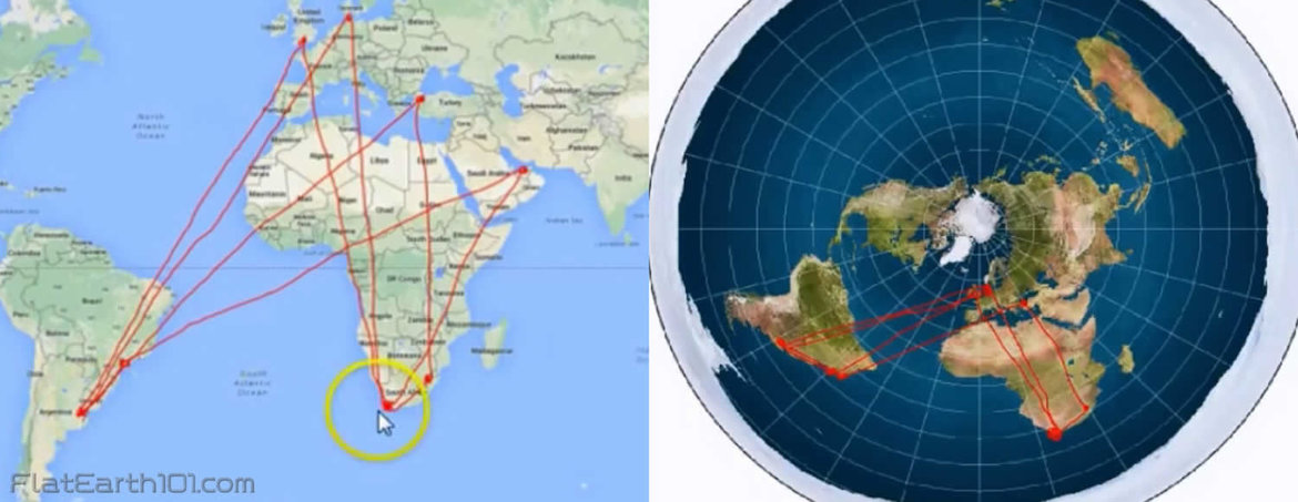
47) On a ball-Earth Johannesburg, South Africa to Sao Paolo, Brazil should be a quick straight shot along the 25th Southern latitude, but instead nearly every flight makes a re-fueling stop at the 50th degree North latitude in London first! The only reason such a ridiculous stop-over works in reality is because the Earth is flat.
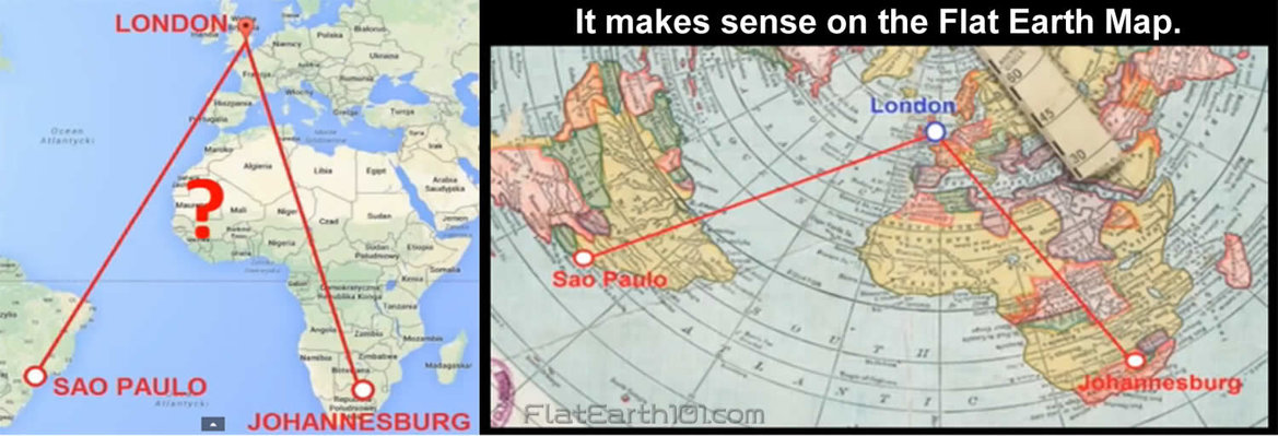
48) On a ball-Earth Santiago, Chile to Johannesburg, South Africa should be an easy flight all taking place below the Tropic of Capricorn in the Southern hemisphere, yet every listed flight makes a curious re-fueling stop in Senegal near the Tropic of Cancer in the North hemisphere first! When mapped on a flat Earth the reason why is clear to see, however, Senegal is actually directly in a straight-line path half-way between the two.

49) If Earth were a spinning ball heated by a Sun 93 million miles away, it would be impossible to have simultaneously sweltering summers in Africa while just a few thousand miles away bone-chilling frozen Arctic/Antarctic winters experiencing little to no heat from the Sun whatsoever. If the heat from the Sun traveled 93,000,000 miles to the Sahara desert, it is absurd to assert that another 4,000 miles (0.00004%) further to Antarctica would completely negate such sweltering heat resulting in such drastic differences.
50) If the Earth were truly a globe, the Arctic and Antarctic polar regions and areas of comparable latitude North and South of the equator should share similar conditions and characteristics such as comparable temperatures, seasonal changes, length of daylight, plant and animal life. In reality, however, the Arctic/Antarctic regions and areas of comparable latitude North/South of the equator differ greatly in many ways entirely inconsistent with the ball model and entirely consistent with the flat model.

