20 Geographical Proofs that the Earth is an Extended Plane
Ebenezer Breach's 1898 booklet (Part 1)
Part 1 | Part 2 | Video Version
1
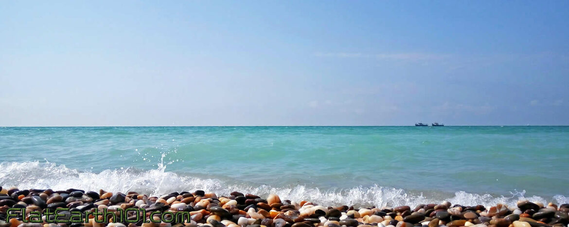
It is usually stated as a most convincing proof that the earth is a globe, that the incoming and outward-bound ship is a standing proof; but that is a mere optical illusion. We have seen the very opposite occur on a calm sea and clear atmosphere; the dark hull will appear first because the masts are light color. The laws of optics and of perspective explain very much when rightly understood and applied to the phenomena around us. No ship can alter the universal law of the equilibrium of fluids. Everything is measured as above the level of the sea. As every calm sea is a true level, it cannot be globular. Where is the rotundity?
2
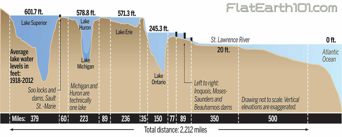 Because geographers are constantly obliged to admit the fact. Thus Ansted in his Geography says: The surface of the earth little more than one-fourth part rises above the uniform level of the water and forms the land. It is irregular in its form and extensive; both horizontal and vertical." Ansted's maps are all drawn according to Mercator's plan, which treats the earth as a plane, lines drawn at right angles straight through. Mercator's is the plan for all navigable charts. Whitehall is so utterly inconsistent as to teach the globe and practice the plane. No rotundity!
3
 Because Professor Dennison, writing on astronomy without mathematics, states that " although the ecliptic is drawn on the terrestrial globe it has no meaning there." Then why is it placed there, as though the earth and all upon it were rushing through the sun's path at 66,000 miles an hour to catch day and night out of the sun. As the Zodiac appertains to astronomy it belongs only to the celestial sphere.
4
 Because Keith himself states the Pampas of South America form a bare horizontal surface of nearly 1000 miles from the Atlantic to the Andes.
5
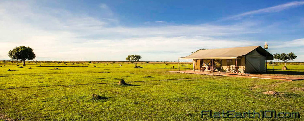 Also in the same note, page 415, "The Limos of the Orinoco form a plain of grass twice as. large as France, 250,000 square miles, are as flat as the surface of the sea." So here is an acknowledgment that three-fourths of the earth is flat, besides the 250,000 square miles of land. Where is the globe then?
6
 To these may be added the vast prairies of North America a bit of straight which occupy the level space between the Mississippi and the Rocky Mountains. No rotundity.
7
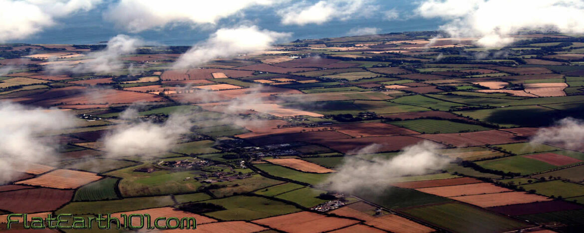
Because in Sullivan's and other geographies. we read "A table-land or plateau is a plain or tract of flat land elevated considerably above the level of the sea. He states that Ireland may be said to be a level country; surface much diversified even where it is quite flat. No rotundity.
8
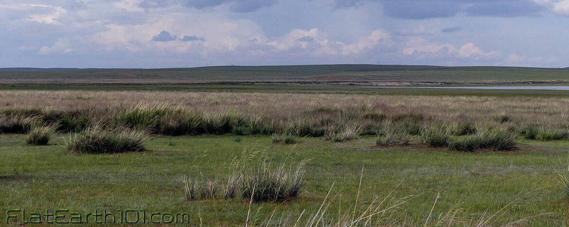 Asia is particularly remarkable for the number and extent of its table or flat lands. In fact it includes almost the whole of the central part of this great continent. Where is globularity then?
9
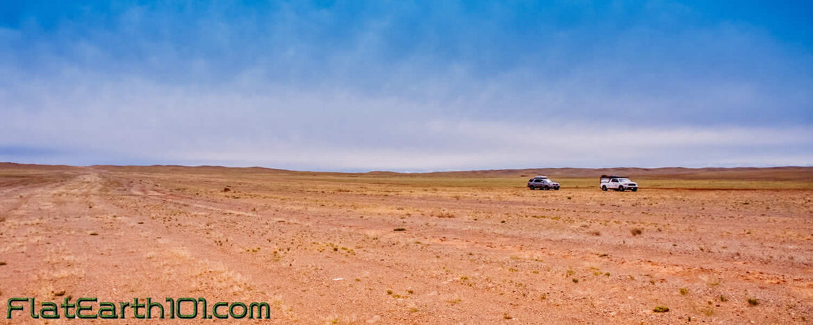 Almost the whole of Tibet, the vast desert of Gobi and the greater part of Mongolia are table or flat lands. No rotundity.
10
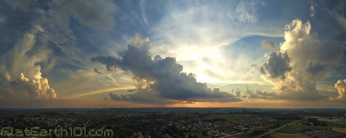
Every continent has plains that are hundreds of miles in extent, therefore no globularity. Not allowing 8 inches to the mile, which is prohibited in Britain by Act No. 6, House of Lords.